 2026-08-12
Opens the generator with this icon’s colors as a reference. Original pixels are not copied into the export.
衛星地図 - 衛星写真・3Dマップ・ストリートビュー
iOS · App Store Ankagis ·App page current
Icon tags
US storefront visual tags. JP and BR icons are not tagged yet.
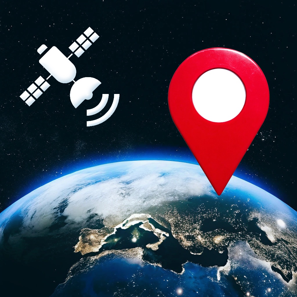
黑色背景,画面中有一个红色的定位图标悬浮在蓝色的地球上方,左上角有一颗白色的卫星正在发送信号。
photographic · neutral · usability 0.4
Visually related icons















Why this icon holds up
On 2026-08-12 the vault captured the 衛星地図 - 衛星写真・3Dマップ・ストリートビュー icon (Navigation, US): 黑色背景,画面中有一个红色的定位图标悬浮在蓝色的地球上方,左上角有一颗白色的卫星正在发送信号。
No earlier vault capture exists yet, so this dated page is the baseline for future diffs.
Tagged as photographic · neutral.
Small-size readability
- Contrast: white mark on black fill — check both dim OLED and bright LCD.
- Silhouette budget: satellite, location pin, earth should remain readable after the store’s rounded-square crop.
- detailed/illustration/photo/dark detail collapses quickly below ~60px — verify the 60px mental model before trusting the master.
- Internal usability score for this capture: 0.4/100 (heuristic, not a store ranking).
These checks are practical references for designers reviewing 衛星地図 - 衛星写真・3Dマップ・ストリートビュー, not authoritative store scores.
Transferable design moves
- Keep satellite as the primary silhouette before adding secondary ornaments.
- Concentrate the loudest chroma on the identifying shape (white), not the whole black field.
- This capture’s detailed/illustration/photo/dark vocabulary transfers best when the same restraint is applied at export size.
About this capture
衛星地図 - 衛星写真・3Dマップ・ストリートビュー is listed under Navigation on the US Apple App Store. This page documents the icon version first seen on 2026-08-12, last confirmed on 2026-08-12. AppIconVault stores dated icon versions so designers can inspect change intervals, not just the latest artwork.
Icon timeline
One capture per week per storefront. Recrawls in the same week collapse to the latest icon, so US vs BR (and later countries) can be read as icon A/B tests.

icon changed that week differs across countries this page
52 weeks · 3 icon changes